Geospatial Data Storage, Analysis, and Visualization
A cloud-native geospatial platform for managing, analyzing, and visualizing spatial data with clarity and speed.
Designed and operated as an independent geospatial lab, combining custom software engineering with applied spatial consulting.
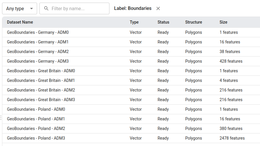
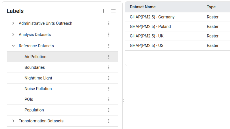
Global Datasets
Ready-to-use spatial data from around the world, all in one place.
Context Awareness
Data that understands where it is and what it means — so analysis starts with insight, not setup.
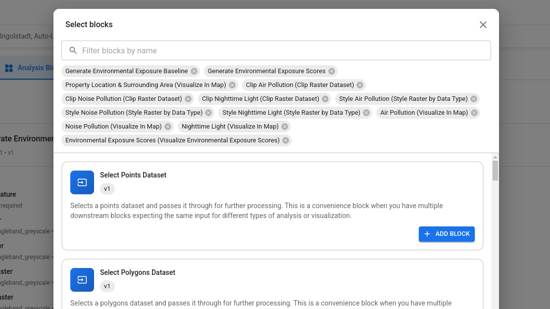
Geospatial Analysis
Powerful spatial tools that turn location data into answers, patterns, and decisions.
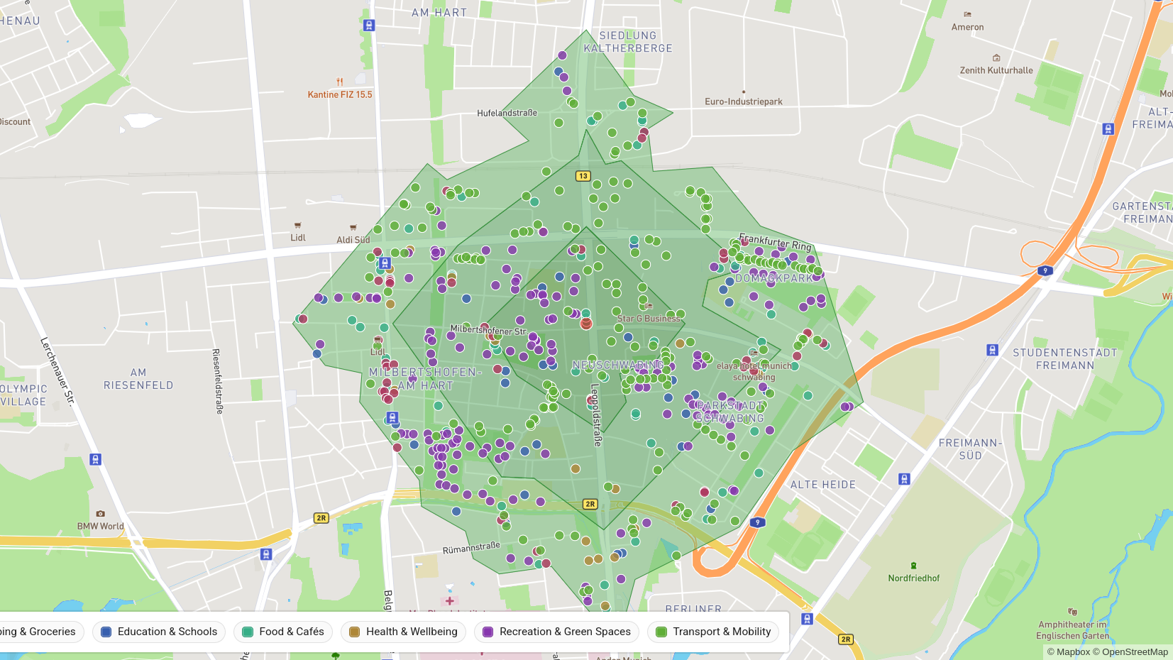
Visual Insights
Clear, interactive maps and visuals that make complex geography instantly understandable.